
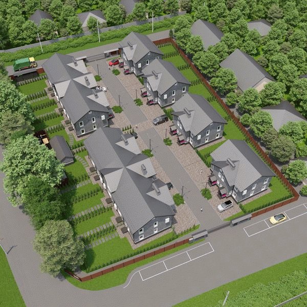
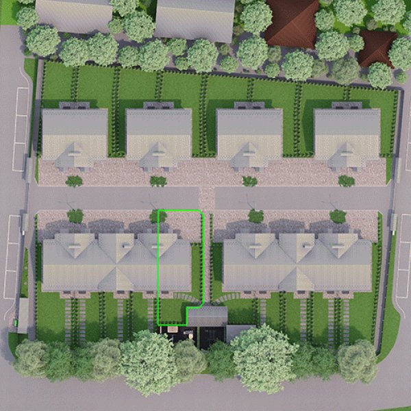
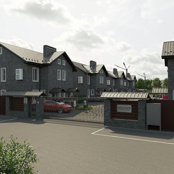
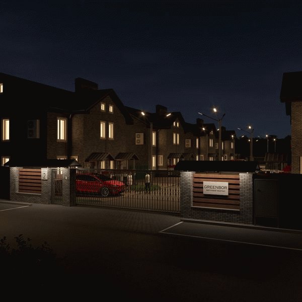
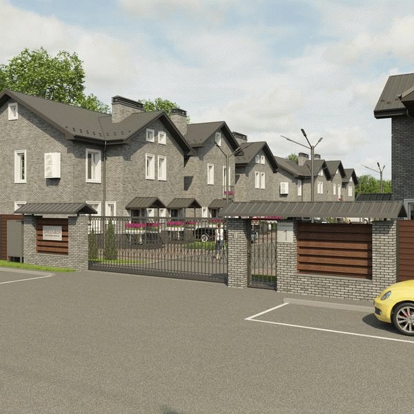
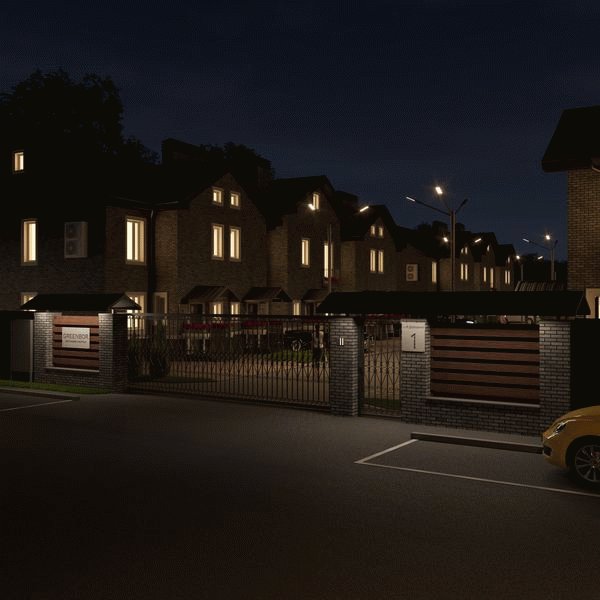
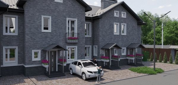
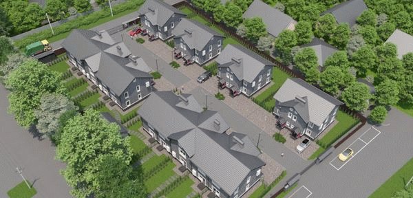
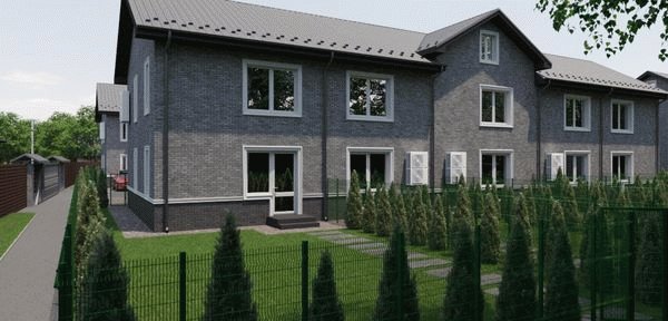
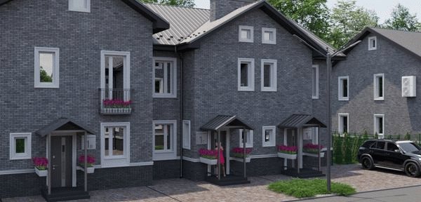
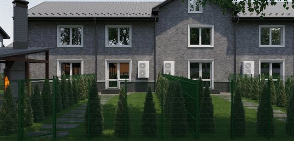
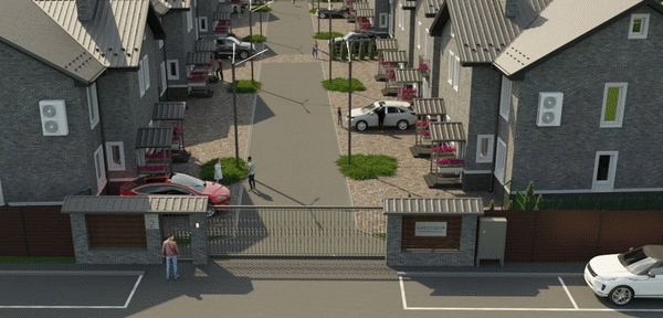
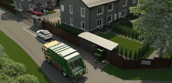
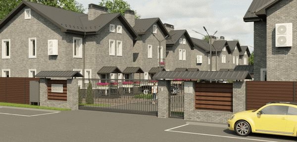
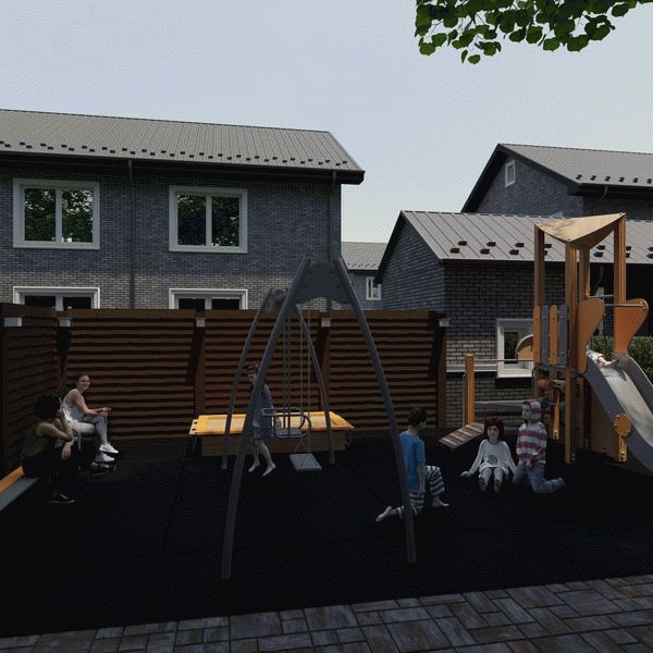
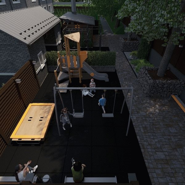
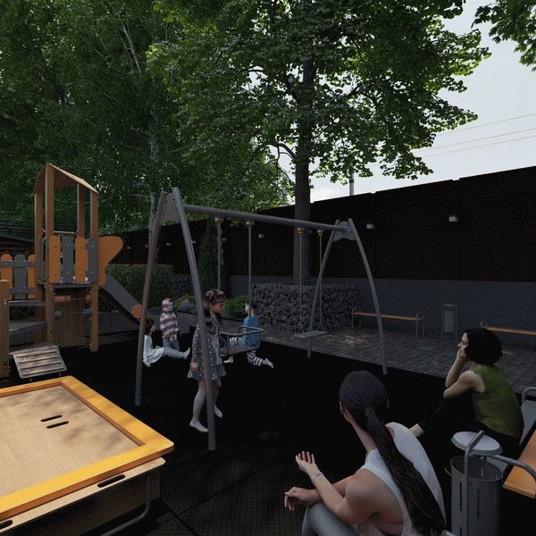
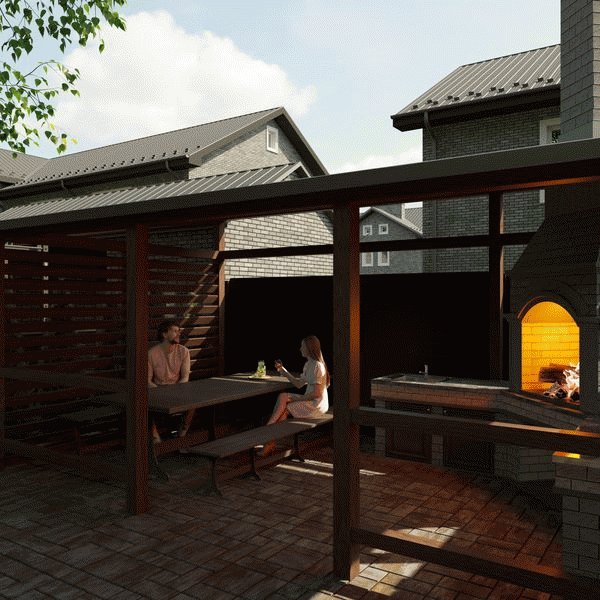
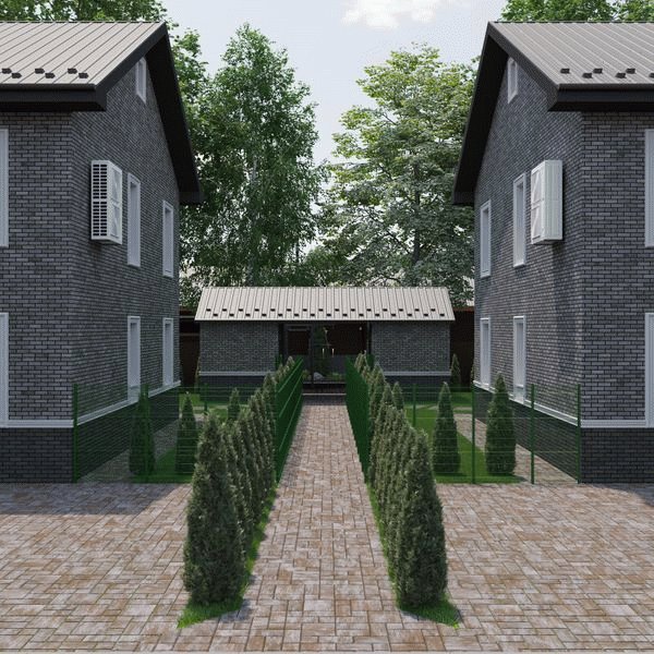
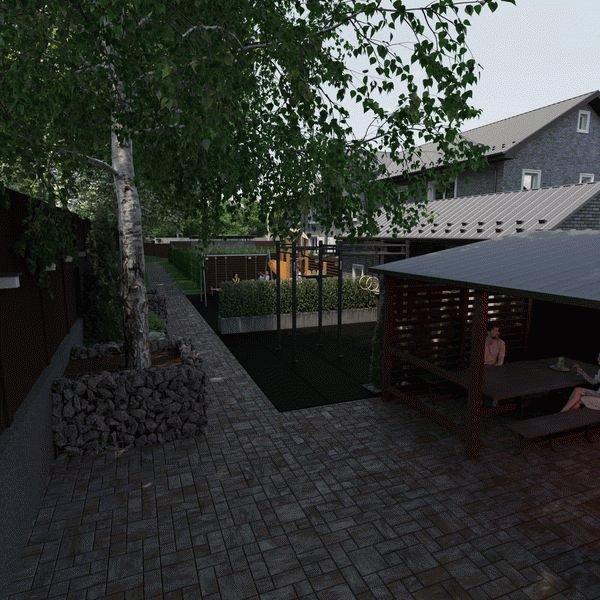
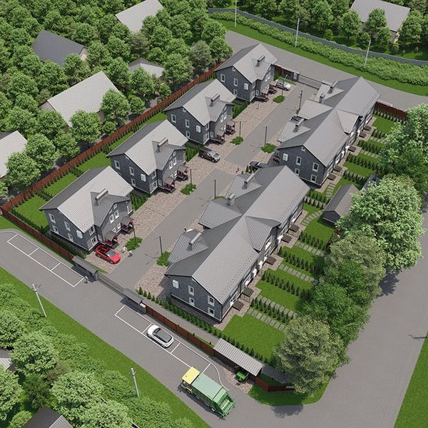
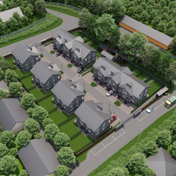
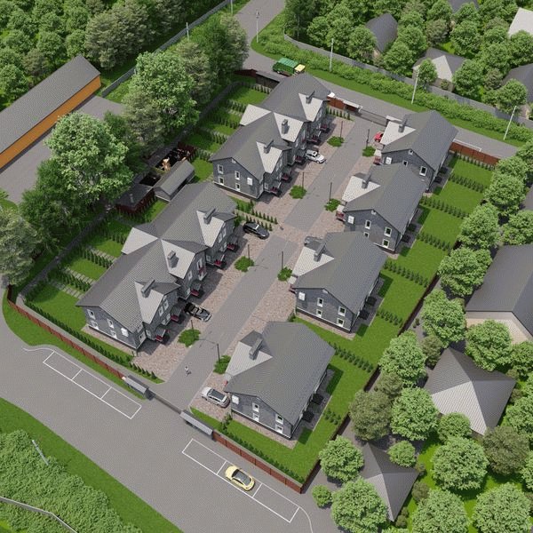
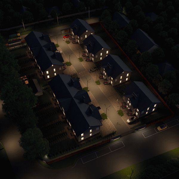
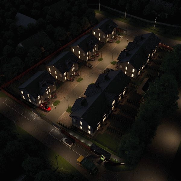
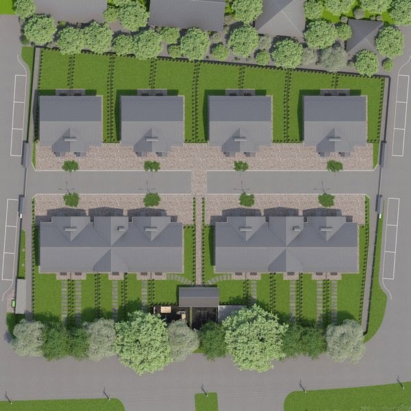
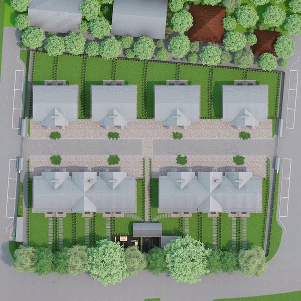
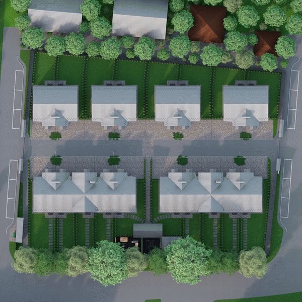
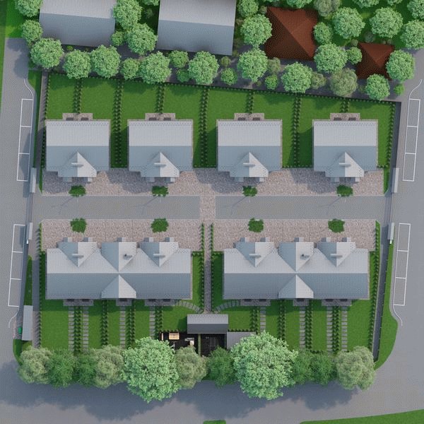
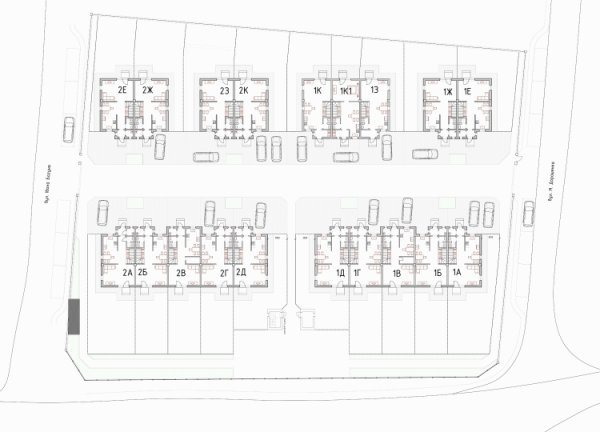
The gallery contains individual fragments and presentation details of the GREENBOR master plan.
The materials help to consider the relative location of buildings, land plots, roads, entrances, engineering facilities and planned landscaping elements.
Master plan images are project materials. They do not replace the cadastral map, technical passport or documents of a specific land plot.
What can be seen in the diagrams
- location of townhouses, duplexes and triplexes;
- approximate configuration of land plots;
- internal road;
- vehicular and pedestrian entrances;
- engineering objects;
- common areas;
- planned recreation and landscaping areas.
Plan update
Individual materials are specified taking into account:
- Phase 2 triplex;
- section 1-К/1;
- of the actual location of the gate of the second entrance;
- economic territory of the second tier;
- current phasing of infrastructure development.
Don't claim that every image in the gallery already takes all these refinements into account.
General and cadastral plans
The general plan shows the project organization of the territory. Cadastral documents determine the legal boundaries and areas of the legally registered land plots.
The exact characteristics of a particular object should be checked against its documents.
View the "Plan" section · View quarter plan · View documents
FAQ
Can you determine the exact area of the plot from these images?
Nope. The exact area is determined by cadastral documents of a specific plot.
Are all the shown landscaping items already built?
No. Part of the infrastructure is working, part is in progress, and part is planned for the next stages.