
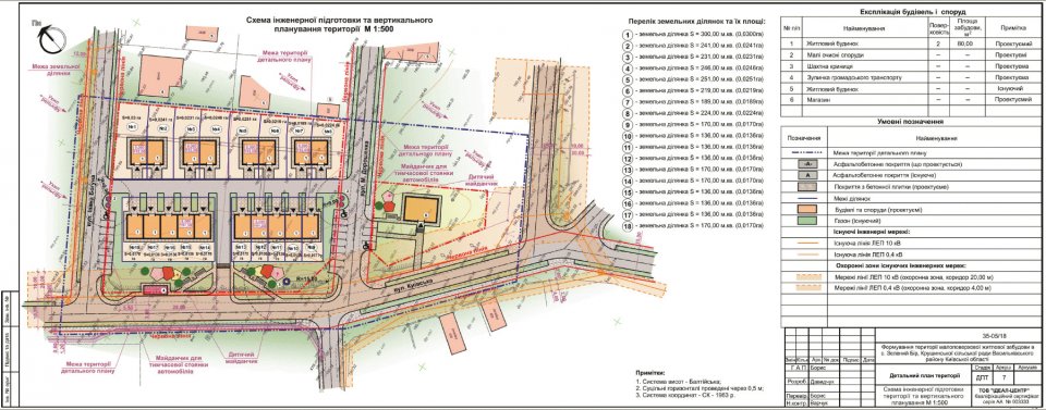
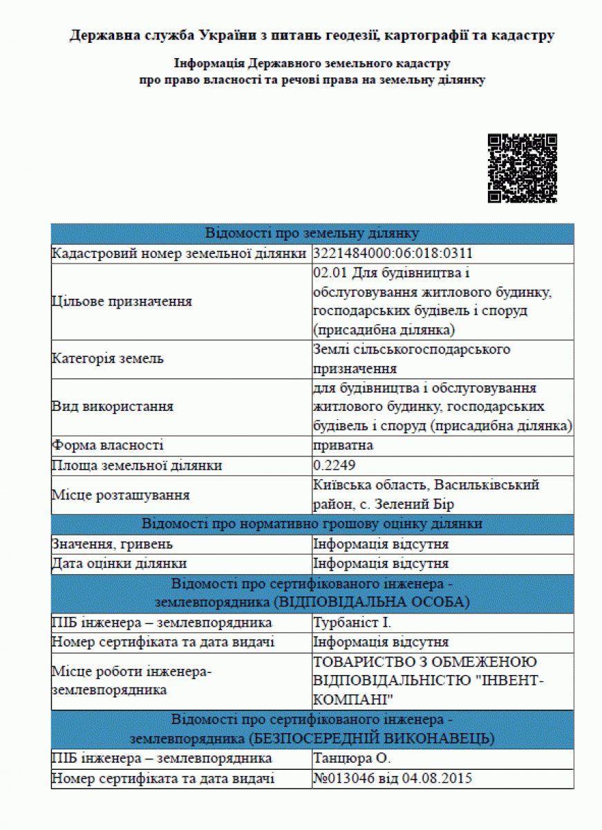
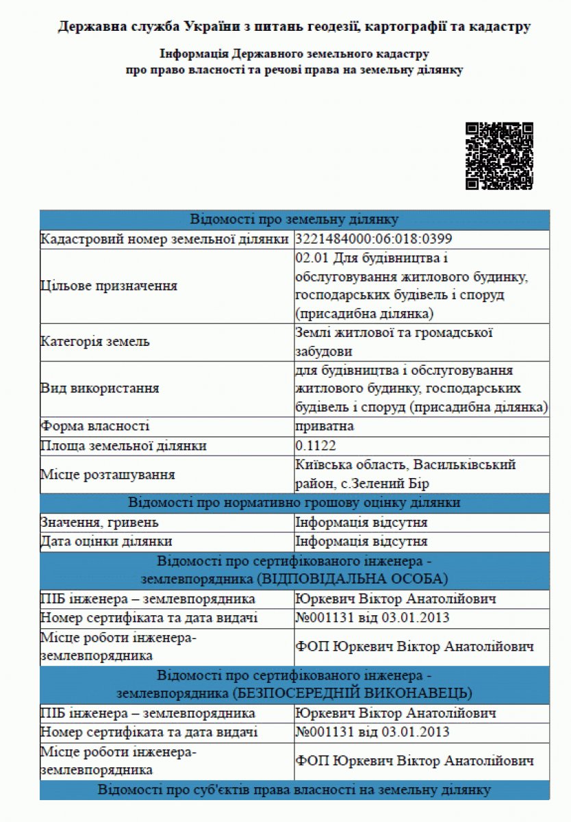
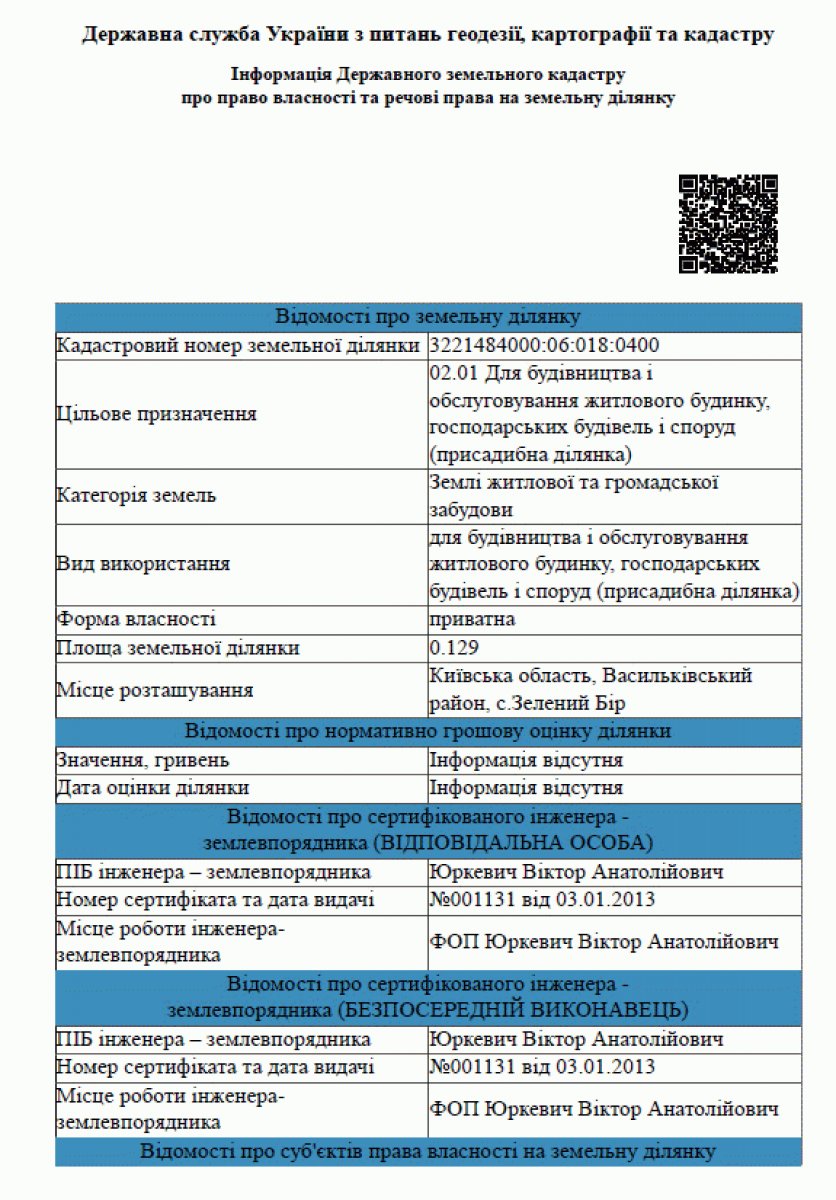
This gallery contains images of GREENBOR's main land, town planning and engineering documents.
The photo gallery is intended for viewing scans and drawings. A detailed explanation of the documents, the history of land plots and cadastral numbers is posted on the main page of the documents.
Images are for preview purposes. Current information about a specific house, land plot, owners, encumbrances and state registration should be checked as of the date of the agreement.
What materials are presented
The gallery may contain:
- extracts from the State Land Cadastre;
- materials of a detailed plan of the territory;
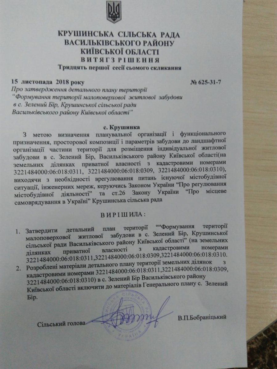
- decision on approval of DPT;
- vertical planning schemes;
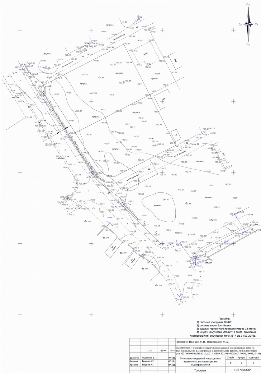
- topographic and geodetic materials;
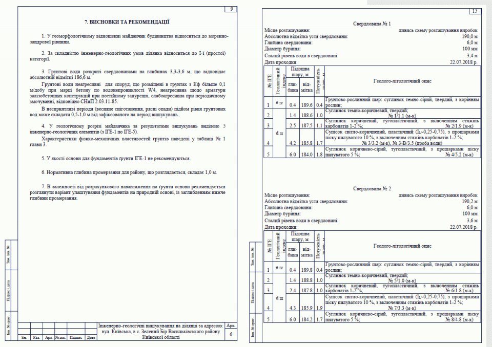
- engineering and geological prospecting;
- territory division schemes;
- other project and land documents.
Historical and modern cadastral numbers
Early documents may contain cadastral numbers of original land parcels. After the division of the territory, separate plots for housing and internal roads were formed.
Therefore, the cadastral number in the historical document may differ from the modern plot number of a particular house.
Object specific documents
General quarter documents do not replace house specific documents.
Before signing the agreement, you must separately check:
- land plot;
- cadastral number;
- area;
- technical passport;
- taking the building into operation;
- address assignment;
- state registration of ownership.
Go to full description of GREENBOR documents
Protection of personal data
Before publishing, you must check that the images do not display passport details, tax numbers, personal addresses, signatures or other information that is not required for public viewing.
FAQ
Can I use a gallery scan instead of the original?
No. During legal verification, originals, properly executed copies and current information from state registers are used.
Why are part of the cadastral numbers different?
Historical documents show the land masses before partition. After the formation of individual plots, new cadastral numbers were assigned.